About Remote Sensing and Spatial Analysis
The Remote Sensing and Spatial Analysis Program seeks to integrate the science and application of remote sensing and spatial analysis into departmental programs.
For a department that manages large tracts of terrestrial and marine conservation parks and reserves, the efficient use and analysis of spatial data is crucial for understanding natural processes and to inform and measure the impact of management actions.
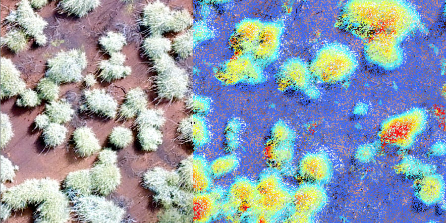
In recent times, the availability of spatial data has increased dramatically. With this increase in data, the Remote Sensing and Spatial Analysis Program is continuing to develop sophisticated statistical analysis, interpretative and automation techniques to synthesise data into a form where they directly assist departmental staff.
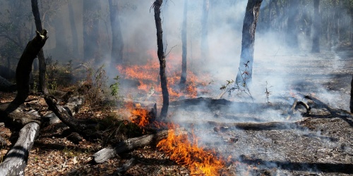
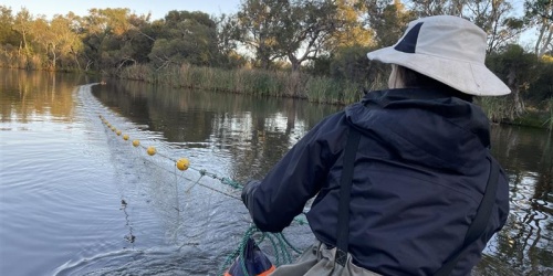
The program undertakes fire mapping over extensive areas of the state and has established monitoring programs in forest, wetland, marine, coastal, rangeland and tropical savanna environments.
Species and habitat modelling and spatially-explicit assessments – such as risk assessments – allow managers to identify areas of concern and efficiently utilise resources.
Program scientists collaborate with other parts of the department, universities, CSIRO, natural resource management groups, resource companies, and other research providers.
Our people
| Katherine Zdunic | Remote Sensing and Spatial Analysis Program Leader |
| Ricky van Dongen | Geospatial Science Research Officer |
| Kathy Murray | Remote Sensing Research Officer |
| Janine Kinloch | Spatial Analysis Research Officer |
| Paul Rampant | Remote Sensing Research Officer |
| Bart Huntley | Geospatial Science Research Officer |
| Jane Chapman | Remote Sensing Research Officer |
| Graham Loewenthal | Spatial Analysis Research Officer |