The river: before and after the flood
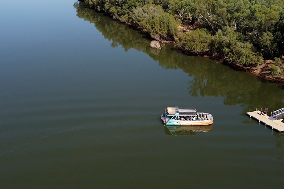
Before the flood.
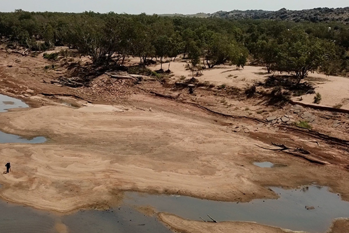
After the flood.
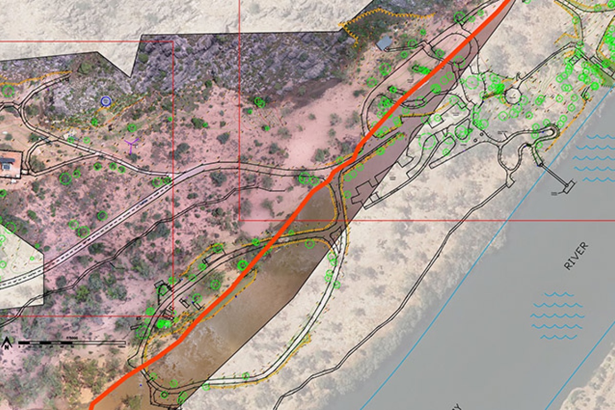
Post-flood overlay. The red line in the map above depicts where the river's edge is now.
Impacted sites within the park
There has been a significant loss of cultural sites for Bunuba Dan͟ggu Traditional Owners
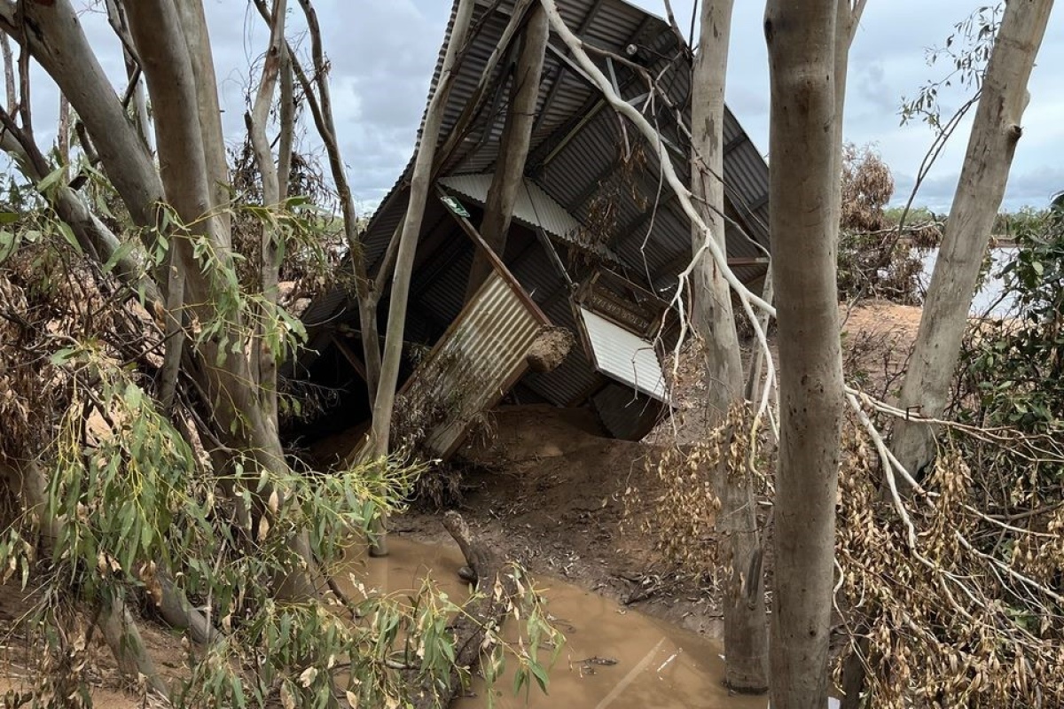
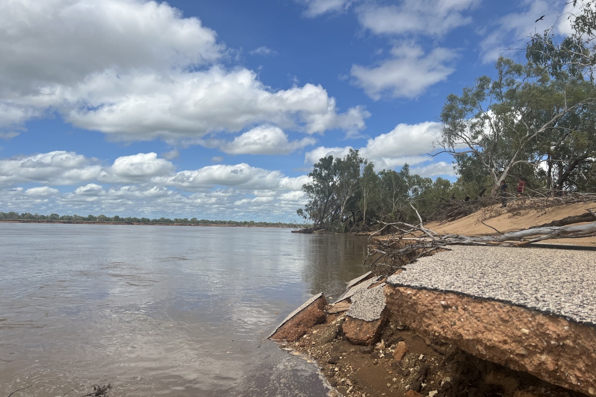
Many significant trees were lost as well as the car park, paths, a boat ramp, gazebo shelter and the ranger base. The power station compound, floating jetty and toilet block have also been impacted.
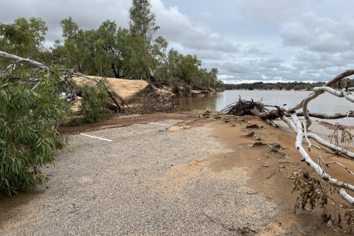
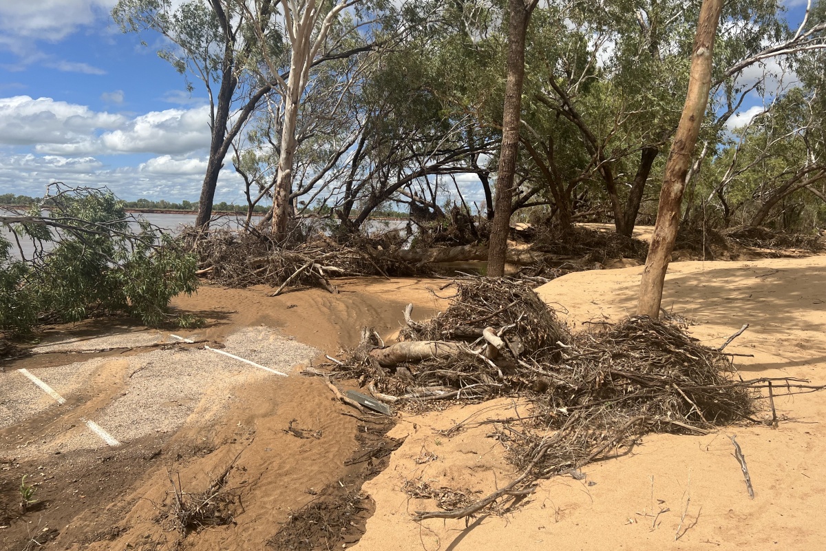
Car park covered by sediment and debris from rising flood water
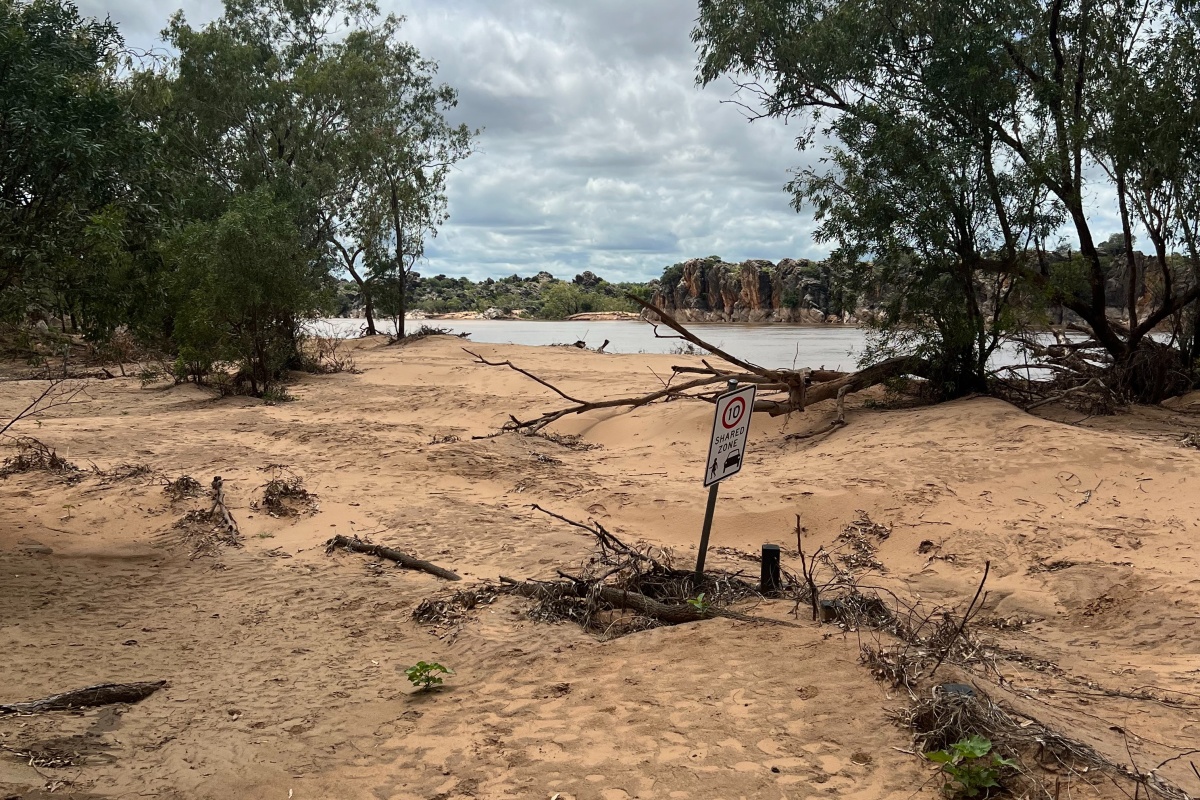
Sign in carpark depicting height of silt from flood waters
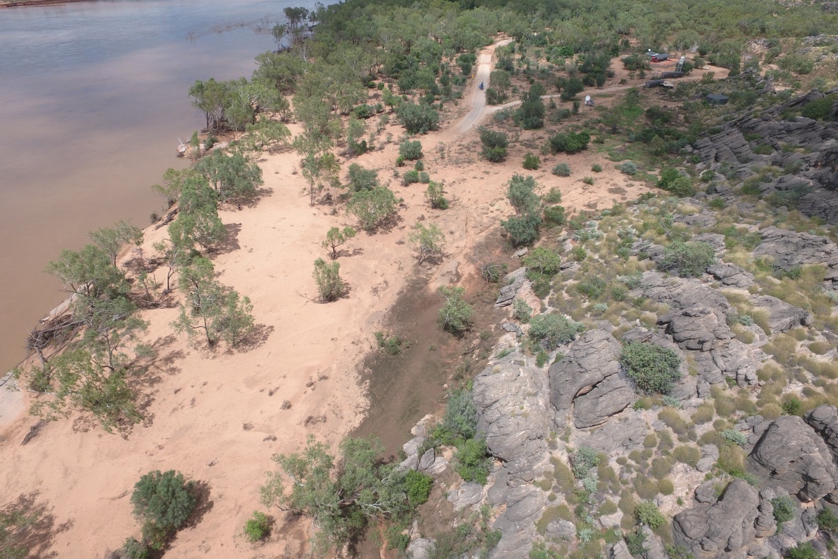
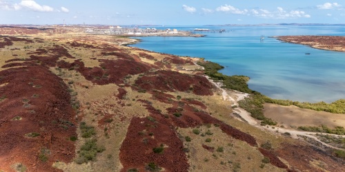
Aerial view of river
Completed works
- Consultation with Bunuba Traditional Owners, including cultural clearance.
- Damage assessments completed. Scoping and survey of river depth and flood impacts on river behaviour, characteristics, and dynamics.
November 2023: Meetings with Bunuba Traditional Owners to progress rehabilitation and restoration
- Visitor risk mitigation
- Bathymetric survey of the river and 3D mapping of the Dan͟ggu precinct
- August - September 2024
- Removal of flood-damaged structures and site rehabilitation
- Re-open park to day users with basic facilities
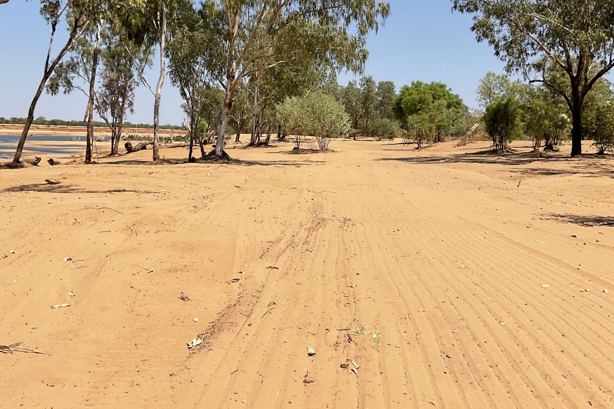
Riverbank after recovery works. Photo/DBCA
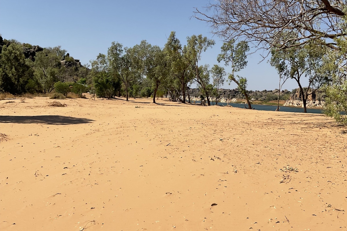
Riverbank after recovery works. Photo/DBCA
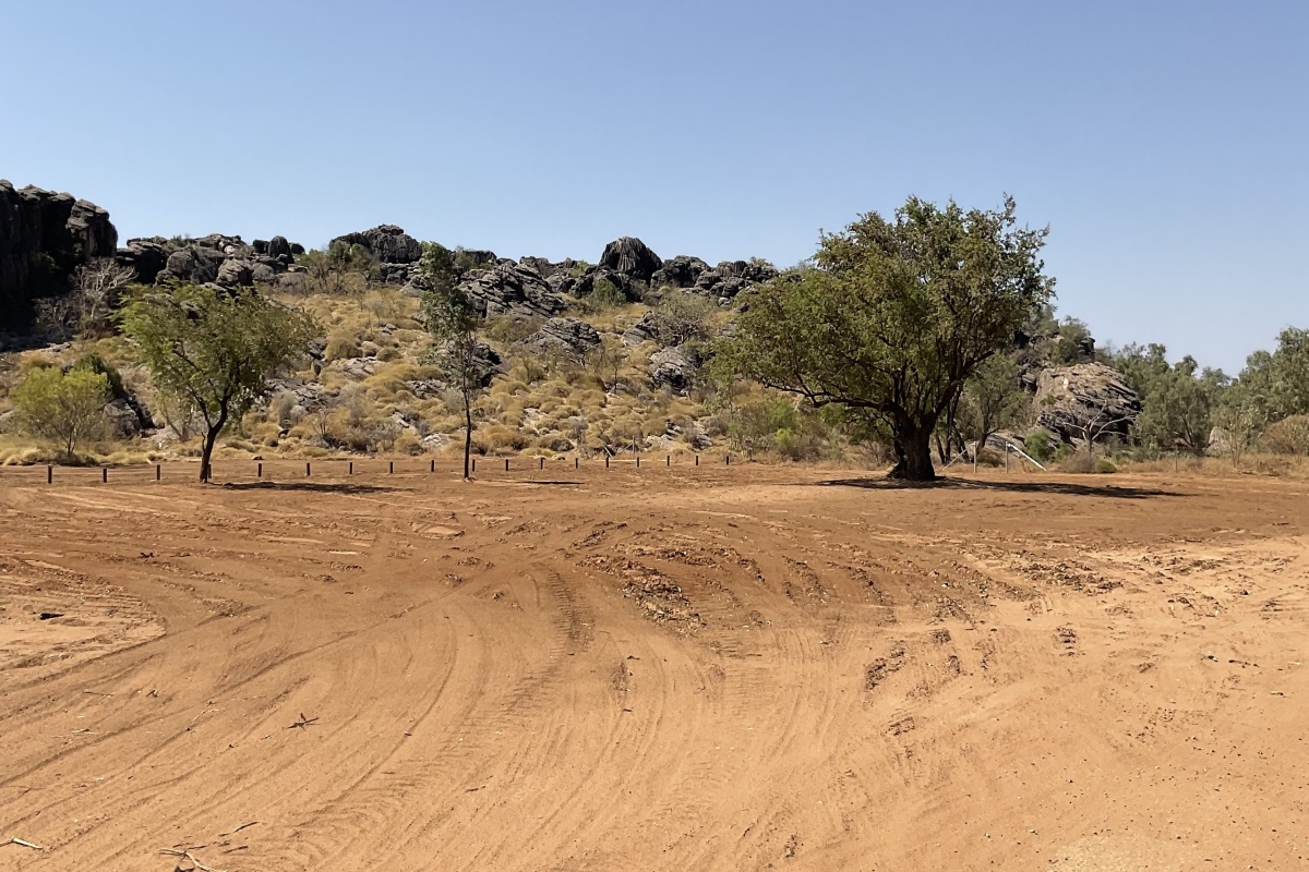
New carpark. Photo/DBCA
The road ahead
January – November 2024:
- Progress site cleanup and site rehabilitation.
- Continue site planning with Bunuba Traditional Owners and key stakeholders for concept designs of new park facilities and infrastructure.
2025 and beyond:
- Together, Parks and Wildlife Service and Bunuba Traditional Owners will continue to progress the rehabilitation and restoration efforts of Dan͟ggu National Park and plan for visitor facilities in the future.
- Currently the water depth of the riverbed appears to be suitable for boat tours however further assessment of the gradient and stability of the riverbank is required after the 2024/25 wet season to determine safe vessel launching and operations.
Find out the latest alerts for parks and trails in Western Australia, such as road closures, crocodile warnings, riverpark alerts and more.
Contact the project team
DBCA - Kimberley Region
111 Herbert Street BROOME
PO Box 65 BROOME 6725
Phone (08) 9195 5500
Email broome@dbca.wa.gov.au
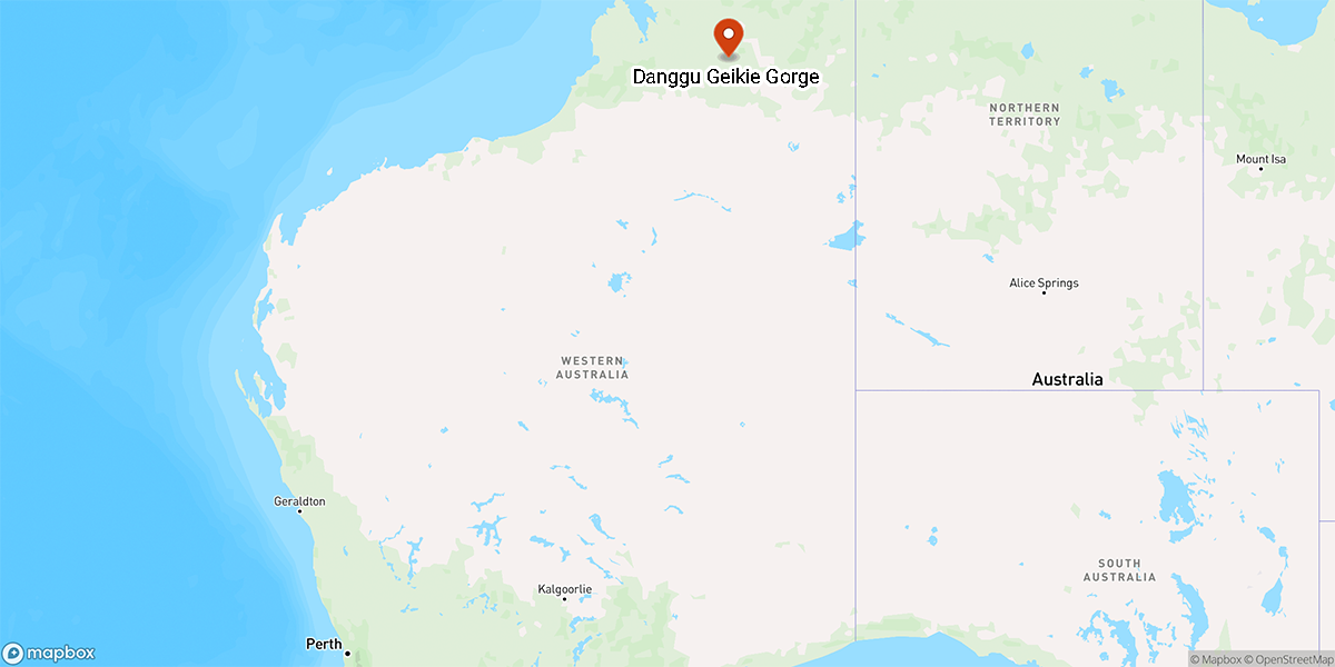
Project location
Project timeline
1 in 100-year flood
- Flood damage closes national park