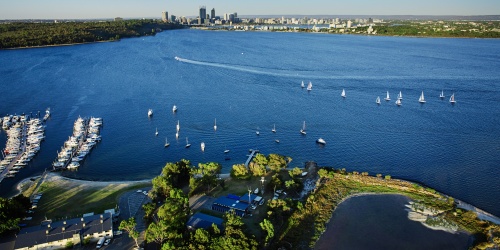
Swan Estuary Marine Park. Photo by Tourism WA
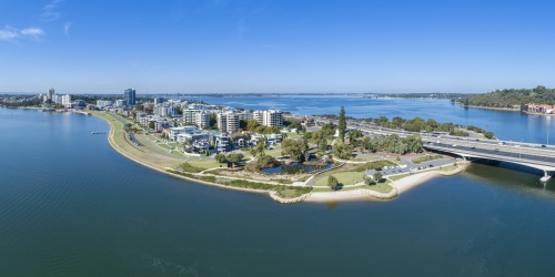
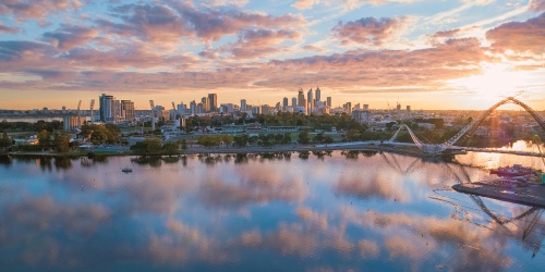
Swan Canning development control area
The application process that development and other activities in and around the Swan and Canning rivers are subject to, depends on the location of the proposal with respect to the Swan Canning development control area (DCA).
The DCA includes:
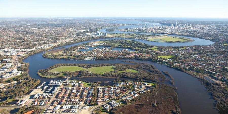
- The River reserve: the waterways of the Swan and Canning rivers (including the smaller rivers and some tributaries as shown in the overview map). This reserve is vested with the Swan River Trust and does not include the public or private land around the rivers.
- The Riverpark: which is made up of the River reserve and public land adjacent to the waterways of the Swan and Canning rivers reserved as parks and recreation (under the Metropolitan Region scheme). The Department of Biodiversity, Conservation and Attractions (DBCA) is responsible for the management of the Riverpark, in conjunction with the local government.
- Privately owned land reserved as parks and recreation adjacent to the River reserve.
DBCA has planning and development authority over the DCA, which includes private property, under the Swan and Canning Rivers Management Act 2006 (SCRM Act 2006) and the Swan and Canning Rivers Management Regulations 2007.
Overview and interactive map of the DCA
The interactive map below will allow you to view one of the 26 section maps of the Riverpark or development control area in more detail (as per May 2016). Simply click on the numbers in the map to download a section.
For the most up-to-date mapping information, it is recommended that you refer to Landgate’s Locate map viewer.
Swan Canning Catchment
The Swan Canning Catchment covers 2,090km of the total catchment area in the Swan Avon system. The Swan Avon Catchment is approximately 126,000 km - about twice the size of Tasmania. Groundwater and surface water flow into the Riverpark from waterways, springs and drains across the Swan Canning Catchment. Land and water management practices within the catchment directly influence the water quality and quantity in the Riverpark.
Management of the catchment relies upon the collaborative efforts of many different stakeholders. The work undertaken by many organisations extends beyond the immediate boundaries of the Riverpark and into the broader catchment. Natural resource management groups and local governments play a particularly important role in undertaking broader catchment activities, which support the ecosystem health and associated amenity and community benefits of the Riverpark.
Download the Swan Canning Catchment sub-catchments map
Landgate - Locate
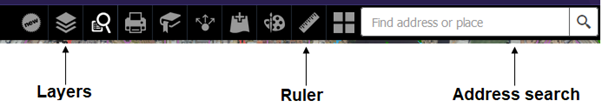
Locate is a public map viewer that showcases the Shared Location Information Platform (SLIP) and Western Australia’s location-based information. It gives you the flexibility to overlay Landgate’s aerial photography and other property related information available via SLIP. Layers such as roads, public transport routes, historical maps, census data, schools and health facilities can be turned on and off at the click of a button. Locate has incorporated information from many government sources so you know the information you are seeing is all WA’s data.
If you would prefer to contact us directly, be sure to include the address if you require information on a specific property. You can also check out the Frequently Asked Questions page for more information. Or you can complete this online enquiry quiz and tell us about what you're proposing and we can provide you a more detailed response:
Instructions for using Locate
These instructions will help you to apply the Swan Canning DCA boundary layer to the address you're interested in.
- Go to the Locate website https://maps.slip.wa.gov.au/landgate/locate/
- Type your address into the address bar in the top right-hand corner.
- Click the layers button to bring up the layers list.
a) Check the Property and Planning box and scroll down and check the Swan and Canning River – development control area box OR type Swan and Canning River - development control area into the search bar of the layer list.
b) Check the Places and Addresses box and scroll down and check the Cadastre Address box and the Cadastre Address (LGATE-002) – Large Scale OR type Cadastre Address (LGATE-002) - Large Scale into the search bar of the layer list.
This will show you the property boundary of your address and where the DCA boundary is:
- The Swan Canning DCA will appear as a thick blue line on the map.
- The property boundary of each land lot will appear as a thin orange line on the map.
See below example:
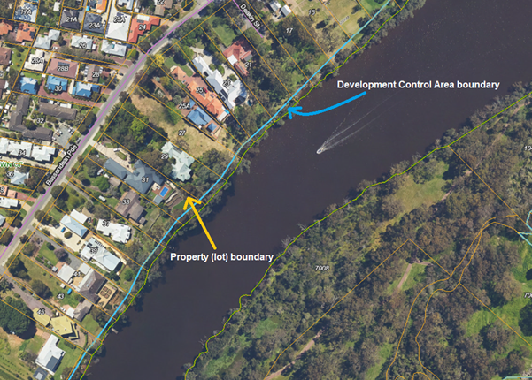
Note that the information on these maps should be used for initial planning purposes only. A full survey or site investigation may be required to determine property boundaries, groundwater levels, risk of acid sulfate soils, ground level contours, etc.
Other useful layers include:
- Region scheme - Zones and Reserves – shows the boundaries of Parks and Recreation Reserves, Waterways and other regional zoning
- Floodway and flood fringe – shows the known flood impacted areas around the rivers
- Contaminated sites database – shows any known contaminated sites
- Geomorphic wetlands, Swan Coastal Plain – shows areas classified as Conservation, Multiple Use or Resource Enhancement Wetlands