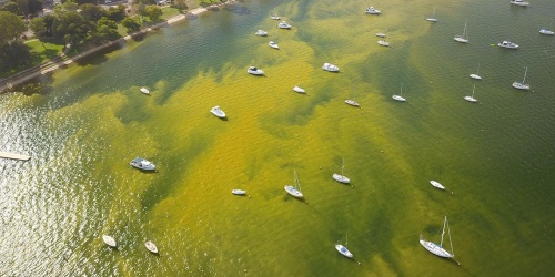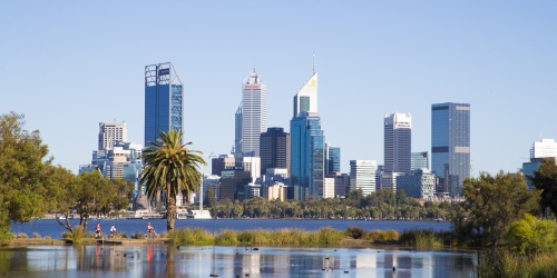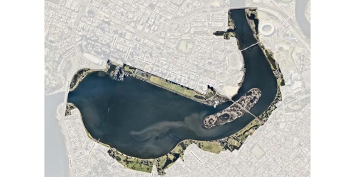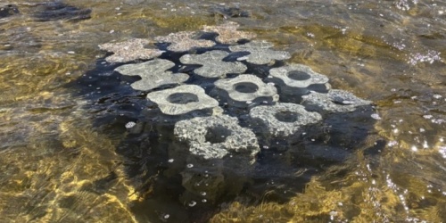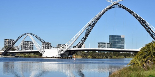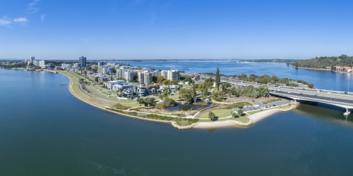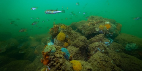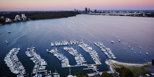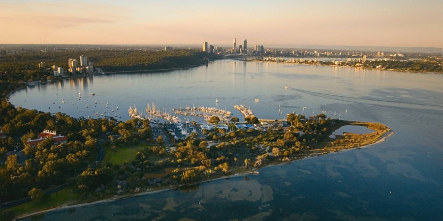
The Department of Biodiversity, Conservation and Attractions (DBCA) received funding through the National Disaster Risk Reduction Grant Program delivered by the State Emergency Management Committee (hosted by the Department of Fire and Emergency Services) to undertake a foreshore risk identification and mapping project for the Swan Canning Riverpark to inform future foreshore planning and management in the context of a changing climate.
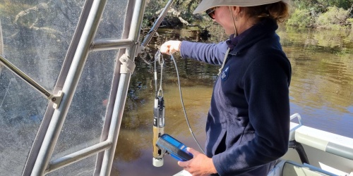
DBCA has engaged a consultant team from Seashore Engineering and the University of Western Australia to produce technically sound data and mapping to support improved risk management decision-making by illustrating likely long-term trends under various climate scenarios and demonstrating where existing practices may be challenged. The risk mapping will illustrate anticipated foreshore hazards in the Riverpark over a 100-year planning period. The data will ensure foreshore land managers have a consistent understanding of erosion and inundation risk that can be applied across various tenure in the Riverpark to inform risk-based adaptative management practices for climate resilience.
Key project activities include:
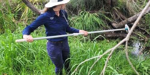
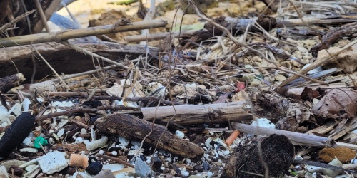
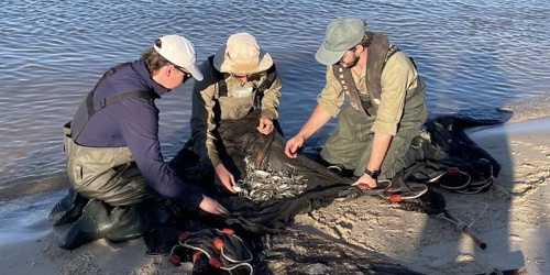
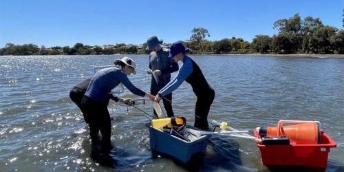
- assessment of local foreshore change, including interactions between the riverbed, bank structure, vegetation, and human activities, under changing conditions
- modelling and system-wide analyses of waves, hydrodynamics, and sediment dynamics, integrated with local-scale assessments of foreshore dynamics
- climate data processing, including down-scaled climate change projections for Perth region, to describe future scenarios
- forecasts of inundation and erosion hazards including key local drivers, with active and emerging processes
- risk mapping of projected inundation risk and erosion hazard (2025 to 2125), and identification of assets at risk
Project implementation:
The project is supported by an inter-agency steering group with representation from:
DBCA’s Swan Canning Waterways Branch and Rivers and Estuaries Science team
Department of Planning, Lands and Heritage
Department of Transport and Major Infrastructure
Department of Water and Environmental Regulation; and
WA Local Government Association.
The project will be delivered in four phases:
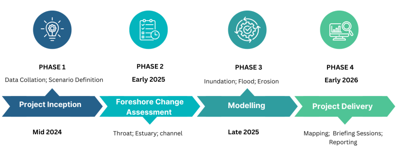
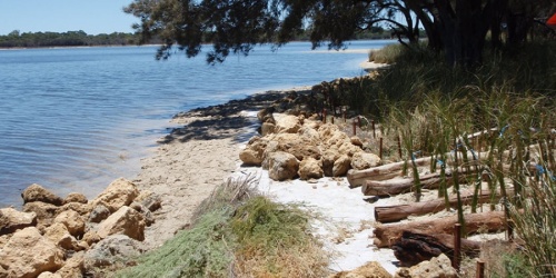
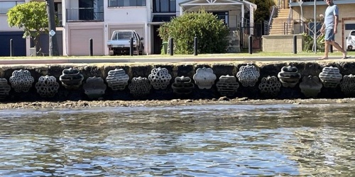
Results from the project will be communicated to public foreshore land managers through a series of briefing sessions, for specific river reaches of the Riverpark. The outputs from this project will be used to inform local foreshore assessments to assess risks to built and natural foreshore assets and inform adaptive management measures – for example nature-based solutions and increased setbacks.
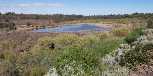
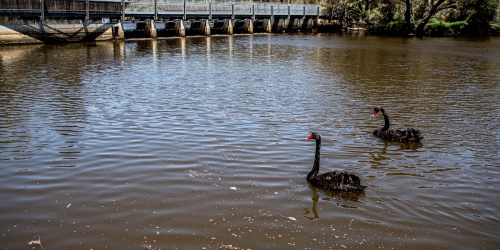
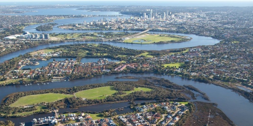
The focus of the project is on the Swan Canning Riverpark (inclusive of the River reserve and adjacent public land). The Department of Water and Environmental Regulation's Western Australia floodplain mapping and Floodplain mapping tool can be used to learn about flood risk in your area.
Further information on the final project outcomes and briefing sessions will be provided early 2026.
DBCA acknowledge support of the following project partners and sponsors:
- Project delivery - Seashore Engineering and the University of Western Australia.
- Project funding - Commonwealth Government and the WA State Emergency Management Committee.
Should you have any questions, please email Riverbank Program at riverbank@dbca.wa.gov.au.