Home
Department of Biodiversity, Conservation and Attractions
Header Menu
  • Shop
  • Accessibility
  • Contact us
Go to WA Government search
Home
Department of Biodiversity, Conservation and Attractions
Header Menu
  • Shop
  • Accessibility
  • Contact us
DBCA
Main navigation
  • About us
    • Parks and Wildlife Service
    • Science
    • Botanic Gardens and Parks Authority
    • Perth Zoo
    • Rottnest Island
    • Conservation and Parks Commission
    • Swan River Trust
  • Get Involved
    • Education
    • Have your say
    • Newsletters
    • Volunteer
  • Management
    • Aboriginal engagement
    • Fire
    • Forests
    • Parks
    • Plans
    • Swan Canning Riverpark
    • Threatened species and communities
    • Threat management
    • World Heritage areas
  • Licences and permits
    • Fauna
    • Flora
    • Firewood
    • Riverpark development and planning
    • Commercial activities
  • Wildlife and ecosystems
    • Animals
    • Living with native wildlife
    • Marine
    • Plants
    • Swan Canning Riverpark
    • Threatened ecological communities

Breadcrumb

  1. Home
  2. Management

Management Plans

The department is responsible for preparing and implementing management plans for marine and terrestrial parks and reserves in accordance with the Conservation and Land Management Act 1984.

  • All
  • Approved
  • Draft closed for public comment
  • Draft open for public comment
Displaying 1 - 18 of 74
Image
North Kimberley. Photo Ben Broady

North Kimberley Marine Park

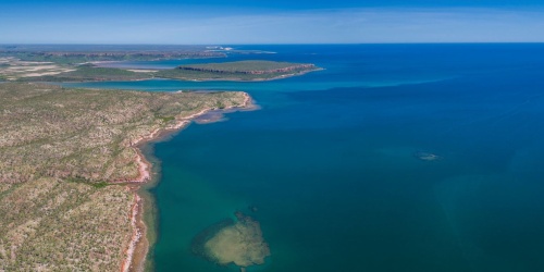
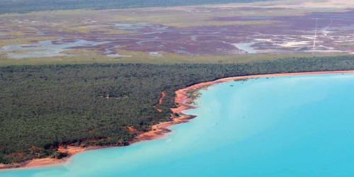
The north Kimberley coast is one of the last remaining unspoilt coastlines on Earth, and is recognised as one of the worlds' most ecologically diverse marine areas.

Kimberley
Approved
Image
Hakea Trail - Photo DBCA

Fitzgerald River National Park coastal walk trails

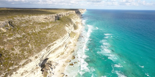
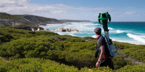
This Dieback Management Plan provides Phytophthora dieback management guidelines for the ongoing operation of the walk trails in the Fitzgerald River National Park.

Approved
Image
Lake Goollelal Yellagonga Regional Park - Photo Tamara Beers

Yellagonga Regional Park

Yellagonga Regional Park is located approximately 20km north of Perth City and 6km from the Indian Ocean.

Perth Metro / Swan
Approved
Image
Yawuru Nagulagun - Photo Steve Lloyd Smith

Yawuru Nagulagun Roebuck Bay Marine Park

For thousands of years Yawuru people have lived along the foreshores of Roebuck Bay, part of the Yawuru traditional estate.

Kimberley
Approved
Image
Yawuru Birragun Conservation Park - Photo Tracey Sonneman

Yawuru Birragun Conservation Park

The Yawuru cultural significance and context of the Yawuru Birragun Conservation Park is a dominant feature of this management plan.

Kimberley
Approved
Image
Yanchep National Park - Photo Gootizen Van Der Meer

Yanchep and Neerabup, Parks and reserves

Yanchep National Park is one of WA’s most popular parks, with around 276,000 visitors in 2010−11.

Perth Metro / Swan
Approved
Image
John Graham Reserve - Photo Kevin Smith

Woodman Point Regional Park

Woodman Point Regional Park is located on the coast approximately 9km south of Fremantle within the municipality of the City of Cockburn.

Perth Metro / Swan
Approved
Image
Korrelocking Nature Reserve - Photo DBCA

Wheatbelt Region Parks and Reserves

The 'Wheatbelt Region' (or region) refers to the department’s administrative region.

Wheatbelt
Approved
Image
King Jarrah - Wellington National Park - Photo DBCA

Wellington National Park, Westralia Conservation Park and Wellington Discovery Forest

The most significant natural features of the planning area are the ecosystems and landscapes of the lower Collie River valley.

South West
Approved
Image
Waroona Reservoir and Catchment Area

Waroona Reservoir and Catchment Area

Waroona reservoir is situated approximately 6 km due east of the township of Waroona, on the edge of the Darling Range.

South West
Approved
Image
Wanjarri Nature Reserve

Wanjarri Nature Reserve

Wanjarri Nature Reserve is situated in the north eastern goldfields between the towns of Leinster and Wiluna.

Goldfields
Approved
Image
Walpole-Nornalup National Park - Photo Bron Anderson

Walpole Wilderness and Adjacent Parks and Reserves

The Walpole Wilderness will be recognised as an important component of an international biodiversity hotspot.

South West
Approved
Image
Walpole and Nornalup Inlets Marine Park - Photo Bronwyn Wells

Walpole and Nornalup Inlets Marine Park

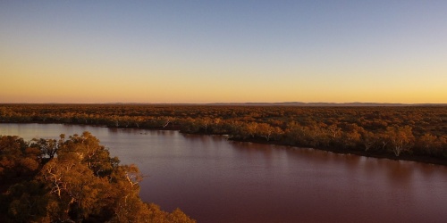
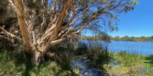
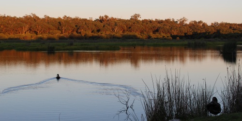
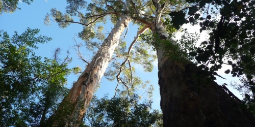
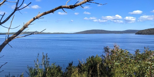
This marine park covers the Walpole and Nornalup Inlets. It also includes the tidal parts of the Frankland, Deep and Walpole rivers. These rivers also feed into the estuary system.   

South West
Approved
Image
Lancelin Coast - Photo Jia Sheng Chong / Unsplash

Turquoise Coast Island Nature Reserve

This management plan is for the 13 island nature reserves which represent a chain of approximately 40 islands off the Western Australian coast between Lancelin and Dongara.

Midwest
Approved
Image
Membenup Picnic Area - Photo Bronwyn Wells

Tuart Forest National Park

This management plan covers three reserves that make up Tuart Forest National Park, Ludlow State Forest1 , Reserve 868 and several other proposed additions.

South West
Approved
Image
Thomson's Lake Nature Reserve - Photo Bronwyn Wells

Thomsons Lake

Thomsons Lake Nature Reserve (Thomsons Lake) is a 'Class A' reserve, of 551 ha, gazetted for the purpose of 'Fauna Conservation and Research and Drainage'.

Perth Metro / Swan
Approved
Image
Swan Estuary Marine Park - Photo Tourism WA

Swan Estuary Marine Park and Adjacent Nature Reserves

The Swan Estuary Marine Park and Adjacent Nature Reserves is comprised of estuarine lands and waters within the Swan River at Alfred Cove, Milyu and Pelican Point.

Perth Metro / Swan
Approved
Image
Leschenault Peninsula Conservation Park - Photo DBCA

Swan Coastal Plain South

Many of the parks and reserves in the Swan Coastal Plain South are known for their high quality landscapes and cultural values.

South West
Approved

Pagination

  • Current page 1
  • Page 2
  • Page 3
  • Page 4
  • Page 5
  • Next page Next ›
  • Last page Last »

Related

Image
Rock Art Echidna
Aboriginal engagement

Working together on Country.

Image
Hopeland bushfire, January 2020. Photo by Jayden Vitler/DBCA
Fire management

Parks and Wildlife Service at the Department of Biodiversity, Conservation and Attractions is responsible for managing fire in forests, parks, nature reserves and other lands that it manages.

Image
Walpole Wilderness
Forests

Western Australia has close to 18 million hectares of forests and woodlands.

Image
Kangaroos - Photo Nathan White / Adobe
Kangaroo management in Western Australia

Management plan, quotas and annual reports for kangaroo management in WA. 

Image
Photo Adobe
Land use planning

Western Australia's land use planning system coordinates planning, land use and development through the review, approval and monitoring of planning schemes, policies, strategies, structure plans and subdivision and development applications.

Image
Management
Management

How we manage fire, and the lands and waters in our care.

Image
Humpback whales
Marine environment

Our marine areas are unique and many of them rival their terrestrial counterparts in scenic grandeur.

Image
Muir's Corella
Muir's corella management in Western Australia

Muir’s corella, one of four corella species in the southern part of Western Australia, once inhabited most of the south-west of Western Australia from the Swan and Avon Rivers south to Broomehill and Augusta. 

Image
100 Year Forest. Photo by Michael Pez/DBCA
Parks

Western Australia’s conservation lands and waters extend over more than 31 million hectares.

Image
Hamersley Range
Pilbara

The Pilbara is recognised as one of Australia’s biodiversity hotspots, and is an area of high conservation value with a largely intact ecosystem that can be protected, and potentially enhanced, through focused and directed land management.

Image
Swan Canning Riverpark - Photo Tourism WA
Swan Canning Riverpark

The Swan Canning Riverpark and the rivers at its heart are the centrepiece of Perth.

Image
Close up of a fox, cane toad and arum lily plant with a dieback infested landscape in the background
Threat management

Managing key invasive pest animals, weeds and plant diseases.

Image
A flock of Carbaby's Cockatoos - large black birds with red feathers under their tails - flying across a blue sky
Threatened species and communities

The Biodiversity Conservation Act 2016 provides for the listing of threatened native plants, animals and ecological communities that need protection.

Image
Planting on Penguin Island. Photo/DBCA
Urban Nature

Providing technical advice and on-ground support for land managers working to protect, manage and restore bushlands and wetlands in the department's Swan Region and beyond.

Image
The everchanging sand tombolo that separates Wedge Island Nature Reserve from the mainland, and South Wedge Beach from North Wedge Beach.
Wedge and Grey reserves

Wedge and Grey reserves on the Turquoise Coast.

Image
Lake Joondalup Photo Fiona Felton/DBCA
Wetlands

Western Australia is home to many different varieties of wetlands, from tidal mangroves and billabongs, to salt lakes and fresh water springs.

Image
Cathedral Gorge, Purnululu National Park Photo by Sean Scott Photography
World Heritage areas

World Heritage areas are the most exceptional and unique places on Earth.

Acknowledgement of Country

The Government of Western Australia acknowledges the traditional owners throughout Western Australia and their continuing connection to the land, waters and community. We pay our respects to all members of the Aboriginal communities and their cultures; and to Elders both past and present.

Footer
  • WA.GOV.AU
  • Accessibility
  • Copyright
  • Privacy
  • Contact us

© Government of Western Australia 2017 to 2023