The department is responsible for preparing and implementing management plans for marine and terrestrial parks and reserves in accordance with the Conservation and Land Management Act 1984.
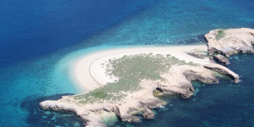
Encompassing approximately 19 hectares, located 10 kilometres south-west of Fremantle, the nature reserve extends to the low-water mark and includes the main island as well as Shag, Flat and South West Rocks.
The plan includes Barrow Island and three nearby smaller islands, Boodie, Middle and Double Islands, covering a total of 24,070 hectares of land off the coast of Dampier.
Parks and Wildlife Service at the Department of Biodiversity, Conservation and Attractions is responsible for managing fire in forests, parks, nature reserves and other lands that it manages.
Western Australia's land use planning system coordinates planning, land use and development through the review, approval and monitoring of planning schemes, policies, strategies, structure plans and subdivision and development applications.
Muir’s corella, one of four corella species in the southern part of Western Australia, once inhabited most of the south-west of Western Australia from the Swan and Avon Rivers south to Broomehill and Augusta.
The Pilbara is recognised as one of Australia’s biodiversity hotspots, and is an area of high conservation value with a largely intact ecosystem that can be protected, and potentially enhanced, through focused and directed land management.
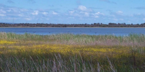
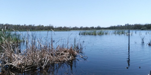
Providing technical advice and on-ground support for land managers working to protect, manage and restore bushlands and wetlands in the department's Swan Region and beyond.