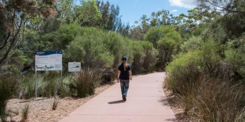
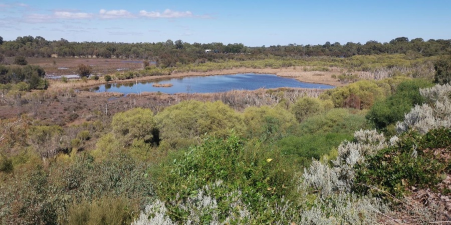
The Department of Biodiversity, Conservation and Attractions (DBCA) is preparing the Ashfield Flats Master Plan to provide guidance for future land management and planning for the area. 
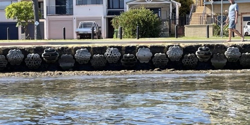
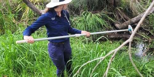
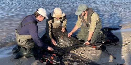
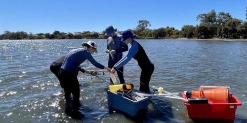
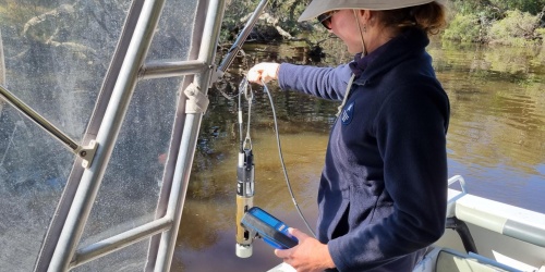
The Master Plan is being prepared following a two-year monitoring program which aimed to identify the dominant hydrological processes at the reserve. The program monitored water flows, surface and groundwater levels, water and sediment quality, and developed hydrological models. 

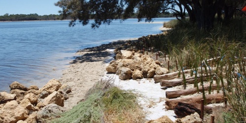
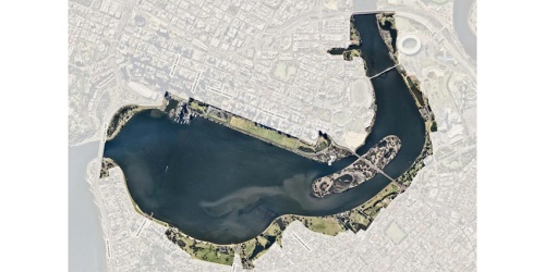
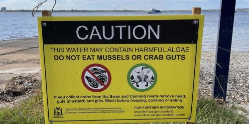
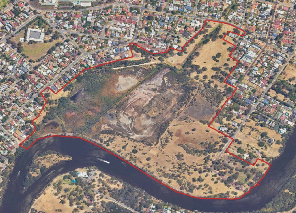
Ashfield Flats is the largest remaining river-flat in the Perth metropolitan area, on the flood plain of the Swan River. This Bush Forever Site and listed wetland of importance is home to the Subtropical and Temperate Coastal Saltmarsh Threatened Ecological Community (TEC). The TEC is protected under State legislation (Biodiversity and Conservation Act 2016) as well as Federal legislation (Environment Protection and Biodiversity Conservation Act 1999). 

The Ashfield Flats Master Plan will play an important role in prioritising the protection of the environment and enhancing the Threatened Ecological Communities (threatened environment) that exist there. Community access to the site is important for recreation, and will need to be balanced against the environmental significance of the site. 

To be added to the mailing list, and for general information, please visit the consultant project page.


Public advertising of the draft Ashfield Flats Master Plan is now open for comment

Ashfield Flats is the largest remaining river‐flat in the Perth metropolitan area, on the flood plain of the Swan River and highly valued by the community for its environmental, recreational, and social qualities.

The Department of Biodiversity, Conservation and Attractions has prepared a Master Plan to guide the future planning and management of the Ashfield Flats and is now seeking feedback from the community.  

Share your feedback online between 10 November and 8 December 2023 by navigating to the project page below.

Ashfield Flats Master Plan project page


Project background

Ashfield Flats Reserve is in the Town of Bassendean on the floodplain of the Swan River. It is valued by the local community for its open space, access to the river, and natural features. The reserve contains an occurrence of a Subtropical and Temperate Coastal Saltmarsh community, which is listed as a threatened ecological community (TEC) under the Environment Protection and Biodiversity Conservation Act 1999. This TEC is listed as vulnerable as it is considered to face a high risk of extinction in the medium-term future.

The reserve is transected by two main drains, which display elevated concentrations of nutrients and heavy metals that discharge to the Swan River. Land managers identified that gaining an understanding of the site’s hydrology was a crucial first step to informing its future management. The hydrological study aimed to identify the dominant hydrological processes at the reserve by undertaking a two-year monitoring program of water flows, surface and groundwater levels, water and sediment quality, and develop hydrological models. The study's full technical report and summary report can be downloaded from the bottom of this page.

DBCA will be the lead agency driving the next step in land management and future planning for the area, responding to the findings and recommendations of the preceding hydrological study with the Ashfield Flats Master Plan. This will involve a multidisciplinary consultant team, led by Urbaqua, to prepare the Master Plan. The master planning process will be informed by meaningful consultation with Traditional Custodians, comprehensive local community engagement, analysis of the environmental conditions and pressures, and the proposals for appropriate management, interventions, and strategies to enhance, adapt and make resilient the ecological qualities and overall amenity of the site. It is the aim of the Master Plan to balance the public amenity with the environmental imperatives of the site. Opportunities for public comment will be advertised throughout the master planning process.

Frequently asked questions

What is the Ashfield Flats Master Plan?

The master plan is a strategic level document based upon the findings and recommendations of the Ashfield Flats Hydrological Study. The master planning will take analysis of site context, community consultation, and conditions (i.e., environmental qualities, community values) to propose appropriate policies and objectives with associated strategies/ management/ intervention activities for the study area.

Where can I find out more information on the Hydrological Study?

Summary report: Ashfield Flats hydrological study summary

Full study: Ashfield Flats full hydrological study

Poster: Ashfield Flats summary poster

What are the study area extents for the Master Plan?

The Ashfield Flats Reserve is in the Perth suburb of Ashfield, on the banks of the Swan River. The study area is roughly 64,000 m2 (64 hectares), and is illustrated in the map below.

Ashfield Flats study area

 Why is DBCA developing a Master Plan for Ashfield Flats?

In 2018, revegetation and foreshore restoration works were being undertaken on site; however, this was not clearly communicated to the public and led to management works being put on hold. Notwithstanding, at the same time a comprehensive study of the site’s hydrology was undertaken.

The Ashfield Flats Hydrological Study forms a comprehensive foundation of understanding from which works can be based upon. It is from this position that the Ashfield Flats Master Plan will be prepared.

Who will be conducting the Master Planning process?

The Master Plan is being prepared by a multidisciplinary consultant team, contracted by DBCA. The project will be delivered with Urbaqua, as the lead consultancy, in partnership with Southwest Kinships, Shape Urban, MP Rogers, and PGV Environmental.

Who are land managers for this site?

Ashfield Flats is managed by multiple organisations. A large portion of Ashfield Flats is managed by the Department of Planning, Lands & Heritage, with sections under the management of the Town of Bassendean. The Water Corporation manage the drainage reserves that transect the site.

When will the Master Planning process commence?

The project commenced in October 2022. The Project Team are currently undertaking the background analysis and review and will be commencing engagement with the Traditional Owners and Aboriginal community in late 2022.

How long will the Master Plan take to prepare?

The Master Plan will take approximately one (1) year to complete. The project milestones are:

• Stage 1: Project commencement (October 2022) • Stage 2: Context and background analysis (Late 2022) • Stage 3: Community and stakeholder engagement (Early 2023) • Stage 4: Preparation and advertising of draft Ashfield Flats Master Plan (early – late 2023)

When is community consultation being undertaken?

Community consultation has now commenced.

DBCA are seeking to understand the Aboriginal, community and stakeholder values of the area and identify issues associated with the current and future use of the Ashfield Flats area.

Opportunities to be involved are listed above.

Who is DBCA consulting with?

DBCA and project team will be undertaking consultation with Traditional Owners and the local Aboriginal community, local residents, users and visitors of the Ashfield Flats, community and interest groups and state and local government authorities.

What site qualities and pressures will the master plan be covering?

The qualities and pressures covered by the master planning process are largely derived from the preceding Hydrological Study and past management works and will include, but not be limited to:

• Stormwater quality entering the site/river
• Groundwater quality entering the site/river
• Foreshore stabilisation
• Sea-level rise/ inundation of the site
• Threatened ecological community management
• Revegetation
• Responses to other pressures expected from climate change (e.g., bushfire risk, habitat loss)
• Ongoing maintenance and monitoring plans
• Community values such as public (and dog) access; movement networks and other uses
• Infrastructure asset management

Why are the Ashfield Flats so important?

The Ashfield Flats are home to the Subtropical and Temperate Coastal Saltmarsh Threatened Ecological Community (TEC). The TEC is recognised under State legislation (Biodiversity and Conservation Act 2016) and protected under Federal legislation (Environment Protection and Biodiversity Conservation Act 1999). 
 
Further information on Subtropical and Temperate Coastal Saltmarsh can be found on the Federal Department of Climate Change, Energy, the Environment and Water website.

How can I be more involved?

DBCA encourages involvement from the public in the master planning process. Please see the consultant’s Ashfield Flats Master Plan project page to take part in a survey, subscribe to a mailing list, hear about events and for more general information.