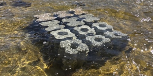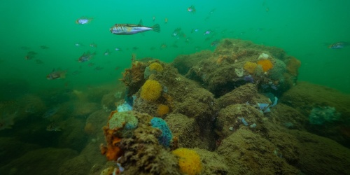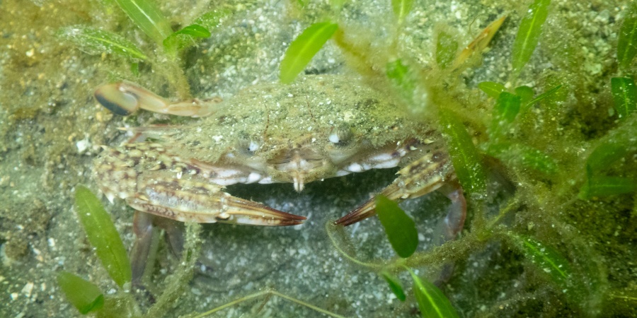
Juvenile Blue Swimmer Crab amongst Halophila decipiens. Photo - Peter Howie/DBCA
Rivers and Estuaries Science
Status: Active
About the research project
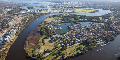
Established in 2011, the Swan Canning Estuary seagrass project is a long-term monitoring program tracking the ongoing productivity and health of seagrass communities within the estuary. The project aims to detect early changes in seagrass health, complementary to water quality monitoring in supporting reporting against the River Protection Strategy (SRT, 2015). Information from this project is valuable to managers and stakeholders in risk mapping associated with planning and designing future infrastructure.
Operating on a five-year reporting cycle (see Downloads - Table 1), the project tracks temporal and spatial trends in seagrass health, sediment, water and environmental conditions and pressures. These metrics are collated, providing a comprehensive assessment of seagrass condition and distribution in the estuary.
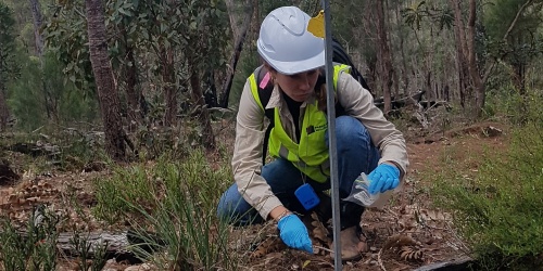
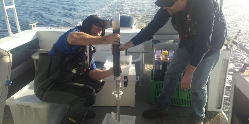
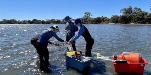
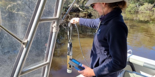
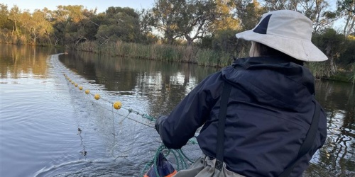
Seagrass performance is monitored and reported on annually as an indicator of overall seagrass health. Monitoring performance involves monthly collection of quantitative biometrics and morphometric data (including presence/absence, biomass, cover, reproduction) between November and March yearly. Sampling is conducted at six sites, selected to represent the variable physical and environmental conditions in the Estuary. This comprehensive dataset is integrated with a suite of pressure metrics and environmental variables, that are assessed to understand factors contributing to seagrass condition. Additionally, seagrass distribution is mapped every five-years.
Management outcomes
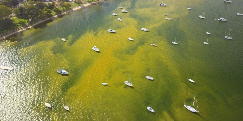
Observed seagrass health reflects the dynamic nature of the estuary, which is subject to episodic stressors such as low tide/high exposure events and elevated freshwater inflows and ongoing pressures such as increased macroalgal cover. Collectively, these conditions provide context for interpreting observed changes in seagrass condition and demonstrate the value of the monitoring program in capturing seagrass responses to both acute disturbance events and longer-term, cumulative pressures. The resulting dataset offers important insight into ecosystem sensitivity, resilience, and recovery potential, supporting evidence based and adaptive management of seagrass habitats within the Swan Canning Estuary.
Progress
The five-year reporting cycle was completed in 2025-26, comprising a comprehensive and internally consistent dataset, enabling robust assessment of seagrass condition, spatial patterns, temporal trends, and associated environmental pressures over time.
Observed seagrass health reflects the highly dynamic nature of the Swan Canning Estuary, which over the past five years has been subject to a range of contrasting conditions, including low tide and high exposure events during summer 2023/24, an elevated freshwater inflow event, and nutrient intrusion in winter 2025. In addition to these episodic stressors, seagrass communities were influenced by ongoing pressures such as increased macroalgal cover, the presence of invasive fauna, and growing anthropogenic activity within the estuary. Collectively, these conditions provided context for interpreting observed changes in seagrass condition and demonstrate the value of the monitoring program in capturing seagrass responses to both acute disturbance events and longer-term, cumulative pressures. The resulting dataset offers important insight into ecosystem sensitivity, resilience, and recovery potential, supporting evidence based and adaptive management of seagrass habitats within the Swan Canning Estuary.
Three independent seagrass distribution and extent surveys were conducted over the five-year program. These included:
- A seagrass distribution map was produced in 2025 using satellite imagery, spatial modelling, and ground‑truth validation data, representing seagrass extent observed in February 2023 at the annual peak of productivity.
- An intensive seagrass quadrat survey was undertaken in February 2024, sampling a higher number of quadrats across a broader spatial extent and incorporating depth strata to better assess the influence of bathymetry and light attenuation on seagrass productivity.
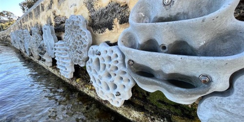
- A deep‑edge drop‑camera survey was conducted in February 2025, to characterise seagrass distribution at the deepest extent of the meadow. Monitoring this highly variable boundary is critical for detecting meadow range contractions while also documenting the distribution of the low‑light adapted seagrass Halophila decipiens.
Project team
| Dr Jeff Cosgrove | Dr Charlie Phelps | Peter Howie | Dr Kerry Trayler |
| Senior Environmental Officer, Rivers and Estuaries Science | Research Scientist, Rivers and Estuaries Science | Environmental Officer, Rivers and Estuaries Science | Principal Scientist, Rivers and Estuaries Science |
Collaborators
School of Biological Sciences and the Oceans Institute, The University of Western Australia.
Publications
Contact
Dr Charlie Phelps
Research Scientist
REScience@dbca.wa.gov.au
 or jarrah die-off between Kirup and Donnybrook. Photo – Joe Fontaine/Murdoch University")