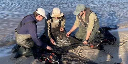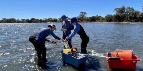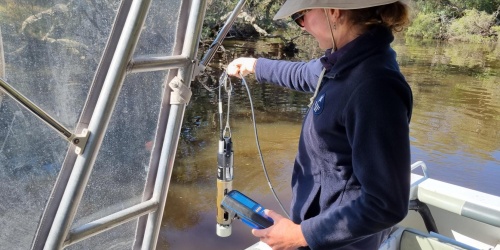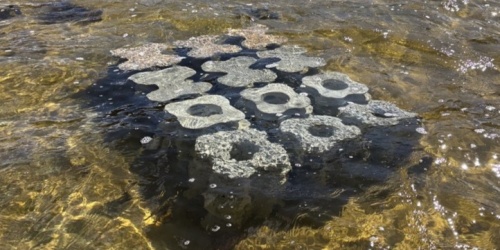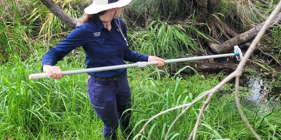
Water sample being collected from a creek in the Swan Canning catchment. Photo - Shannon Pugh/DBCA
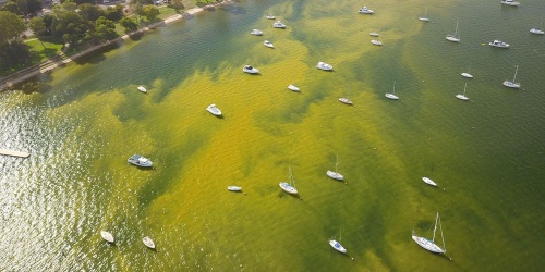
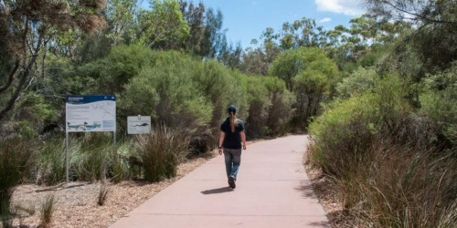
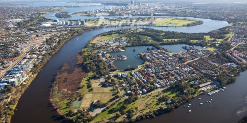
DBCA has established a 25-year dataset comprising water quality information from both the Swan Canning Estuary and its catchment. In collaboration with key partners (The University of Western Australia and Department of Water and Environmental Regulation), this valuable dataset is being used in the development of integrated hydrodynamic and catchment models with predictive capacity that will inform the impacts of land-use and climate change and proactive management response to water quality issues. The model is being used to support the development of a revised Swan Canning Water Quality Improvement Plan.
Key projects include:
- Refinement of the Swan Canning Estuarine Response Model (SCERM) and its application to optimisation of oxygenation plant operations. The model is also being applied to habitat suitability assessments, in partnership with The Nature Conservancy. Both projects are applying data from the State Government's Climate Science Initiative, Coupled Model Intercomparison Project - Phase 6 (CMIP6) for south-west Western Australia, which has been processed to suit SCERM meteorological forcing/boundary conditions.
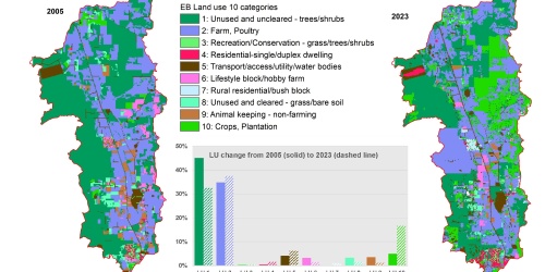
- Development of nutrient export models for Ellen Brook and Southern River, which are both important sources of nutrients to the Swan Canning Estuary. In both cases, a distributed 2D processed-based hydrological and nutrient model is being prepared. These models will be used to quantify nutrient export from specific land use types and differentiate active and legacy sources of nutrients. Climate change influence will also be investigated. Once completed, the models will be able to forecast hydrology under defined scenarios and work as a management tool to understand how nutrient exports will alter with land-use and climate change.
- Building a dashboard to enable community ready access to water quality data and reporting.